
Contact: Office - 0208 050 6412 / Site - 07948 603936


Utility Mapping

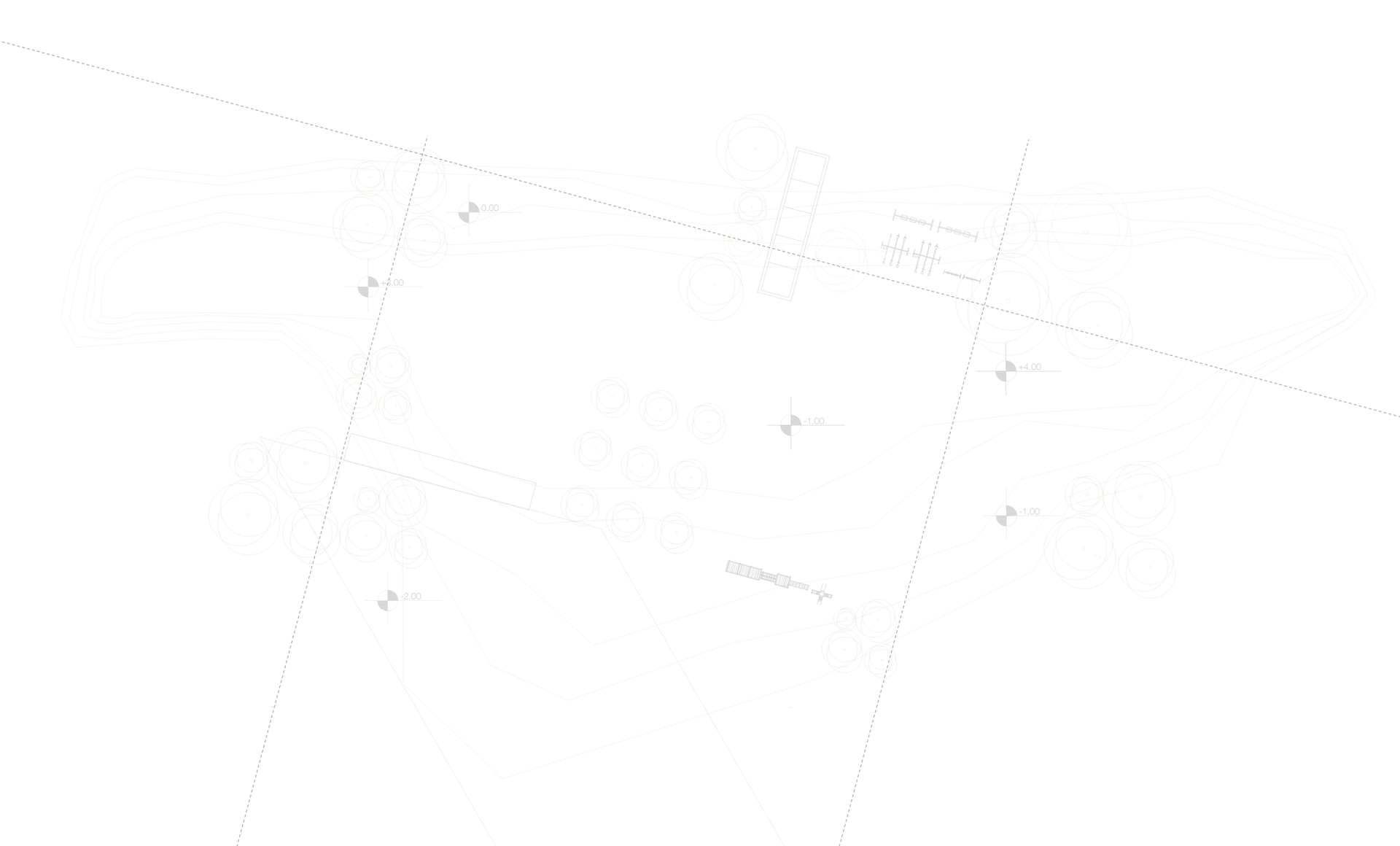
Meridian use GPR technology as well as eletromagnetic and radio frequency to locate and determine the depth and position of metallic and non-metallic utilities and services. The wide scope of radar means we can also locate underground storage tanks and any associated ducting, sub surface concrete structures, voids and any other ground variations that may exist at your site.
As part of our radar service we can record and analyse data by making use of advanced GPR data processing software giving you greater accuracy in terms of the location and identification of targets.
The introduction of BSI PAS128 specification has provides a standard to help understand how targets have been located. This ensures end users have all the information they need when interpreting survey data.
If you would like more information Utility Mapping Surveys, please use the Contact form and we'd be happy to assist you. Or for a competitive quote give us a call on 01483 285189 or email: pas128survey@meridiansurvey.co.uk
USE OF GROUND PENETRATING RADAR (GPR) FOR UTILITY MAPPING
Advantages
-
Low cost
-
Extremely accurate
-
No need to drill or excavate the survey area
-
Real time targeting
-
Non-destructive or invasive
-
Digital media storage
-
Easy to operate
-
Safe
Limitations
-
Site specifics (terrain, dense undergrowth, hard landscaping etc.)
-
Any similarities between dielectric properties of substrata and targets
-
Insufficient discrimination between layer thickness and target sizes
-
Compromise between penetration depths and target resolution
-
Requirement for consistently uniform soil for moisture estimation
